|
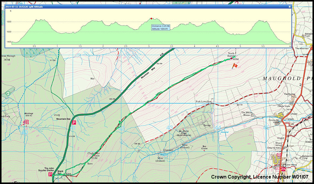
North Barrule
Ridge Map - walk on 11th March 2014
Map
extracts taken from the 2009 1:25,000 scale Outdoor Leisure Map, available
from bookshops or from
http://www.gov.im/transport/planning/cartography.xml
The
vertical proflie shows both out and back with the red dot on North Barrule
Summit
|